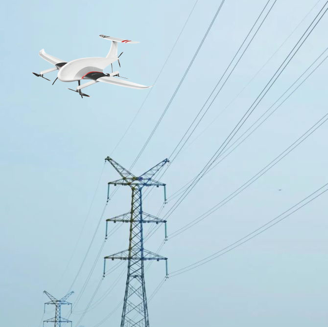
The daily work of power line inspectors is to inspect and overhaul power lines to ensure stable power supply in the area. The traditional power industry is restricted by the natural environment, and many lines are erected in the wilderness.
So for line inspectors, every inspection is a difficult journey. Manual inspection by climbing the tower not only poses a safety risk, but is also very inefficient.

The traditional manual inspection method can no longer meet the needs of building a smart grid, and there are still the following disadvantages.
(1)With the continuous increase in the mileage of transmission lines, the length of operation and maintenance per capita is also increasing year by year. Because the inspection personnel have a large workload, high intensity, long inspection time, and very low efficiency.
(2)In the event of severe weather conditions such as rain, snow and severe cold, the line inspection work cannot be carried out normally.
(3)Some power lines are located in high mountains, deserts, and swamps, and manual inspection is very difficult.
In recent years, the intelligent technology of drones has developed rapidly. The use of drones for power inspections has become one of the options.
Compared with the traditional inspection work, it has high intensity and low efficiency. UAV power inspection can adapt to harsh environments and make up for the shortcomings of manual operations. UAVs can replace part of the manual work intensity, which is an advanced and efficient way.

Especially under abnormal weather conditions, the accuracy and efficiency of manual inspection facilities are low. This artificial shortcoming that drones can make up for.
Relevant data show that the efficiency of drone inspection is 40 times that of manual inspection. UAVs can greatly reduce labor costs and improve the efficiency of power maintenance.
Manual operations have blind spots, while UAVs can inspect the line with a full view of 360 degrees. UAVs can provide accurate information in a timely manner, avoiding accidents and major property losses.

According to the site conditions, select the take-off and landing site, and quickly deploy UAV operations.
The operator determines the flight altitude and fixed point, and enters the route into the ground station. UAVs can automatically perform tasks according to predetermined routes.
The UAV performs inspections according to the predetermined route, and cooperates with the laser radar to complete the data collection task.
According to the data collected by the drone, the background will automatically generate the on-site 3D model and cloud point data. On-site image results are visualized with high precision.

Copyrights© Shenzhen Skylab Co.,LTD All Rights Reserved.

