Satellite positioning system is a space radio positioning system that uses satellites for autonomous geographic positioning. Here are some key information about satellite positioning systems:
1、 Working principle:
1. Satellite signal transmission: Multiple satellites orbit the Earth in space, continuously emitting radio signals of specific frequencies. These signals contain information such as the position and time of the satellite.
2. Signal reception and calculation: User devices on the ground (such as mobile phones, car navigation systems, etc.) receive signals from at least four satellites. By measuring the propagation time of signals from satellites to user devices and combining it with the speed of light, calculate the distance between the user device and each satellite. Then, using this distance information and the known position of the satellite, the three-dimensional position (longitude, latitude, altitude) of the user device on Earth is determined through complex mathematical operations.
2、 Main components:
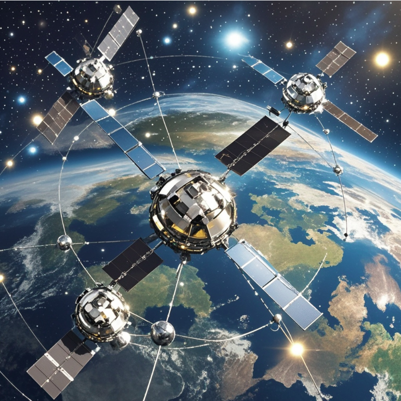
1. Space component: a constellation composed of multiple satellites. The constellation size and satellite distribution of different satellite positioning systems vary. For example, the GPS system in the United States has 24 operational satellites evenly distributed across 6 orbital planes; The GLONASS system of Russia also consists of 24 satellites distributed on three orbital planes; China's Beidou satellite navigation system consists of multiple geostationary orbit satellites, inclined geosynchronous orbit satellites, and medium earth orbit satellites.
2. Ground support system: including main control station, injection station, monitoring station, etc. The main control station is responsible for managing and controlling the operation of the entire system. The monitoring station monitors and collects data from the satellite, while the injection station injects navigation information and other data into the satellite.
3. User device part: refers to the receiving devices used by users, such as positioning chips in mobile phones, car navigation devices, handheld locators, etc. These devices receive satellite signals and process them based on the received information to provide users with accurate location, speed, time, and other information.
3、 Application areas:
1. Transportation: It is one of the most widely used application areas of satellite positioning systems. Provide accurate route planning and real-time navigation for drivers in car navigation; In the aviation field, aircraft use satellite positioning systems for flight navigation and monitoring; In shipping, ships rely on satellite positioning systems to determine their position, heading, and speed, ensuring safe navigation.
2. Surveying and Geographic Information: Surveyors use satellite positioning systems for geodetic surveying, topographic surveying, cadastral surveying, and other work, which can quickly and accurately obtain geographic information data, providing basic data for map drawing, geographic information system construction, etc.
3. Agriculture: In precision agriculture, agricultural machinery uses satellite positioning systems to achieve precise operations such as precise sowing, fertilization, spraying, etc., improving agricultural production efficiency and quality, and reducing resource waste.
4. Emergency rescue: In the event of disasters such as earthquakes, floods, forest fires, etc., rescue personnel can use satellite positioning systems to quickly determine the location of affected individuals, develop rescue plans, and improve rescue efficiency.
5. In the military field, it is of great significance for the military's combat command, weapon guidance, and troop deployment. For example, missiles can rely on satellite positioning systems for precise guidance and improve strike accuracy.
4、 The world's major satellite positioning systems:
1. The Global Positioning System (GPS) in the United States: developed earliest, with the highest maturity and in-depth commercial application development. Its signal covers the whole world and can provide users with high-precision positioning, navigation, and timing services. The GPS system has been widely used in both civilian and military fields, and is one of the most widely used satellite positioning systems in the world.
2. The Russian GLONASS satellite navigation system has strong anti-interference capabilities and potential safety advantages in case of emergency situations. After years of development and improvement, the system has now restored its global service capabilities, providing positioning, navigation, and timing services for users in Russia and neighboring countries.
3. The European Union's Galileo satellite navigation system has performed well in civilian accuracy, and the system is still under construction and improvement. The Galileo system is a satellite navigation system independently developed by the European Union to reduce reliance on the US GPS system, with the goal of providing more independent, reliable, and accurate positioning services.
4. China Beidou Satellite Navigation System (BDS): It is a global satellite navigation system independently developed and operated by China. The Beidou system has characteristic services such as short message communication, high positioning accuracy in the Asia Pacific region, and has achieved global coverage, providing high-quality positioning, navigation, and timing services for users worldwide.
Prev:Excellent Application of SKG12DI-02 Single Beidou Module in Road Inspection
Next:WiFi 6 module SKW3000: an excellent connector for smart homes
Copyrights© Shenzhen Skylab Co.,LTD All Rights Reserved.


